Few environments present training challenges more difficult than those encountered in disaster management. The elements of any particular disaster – including location, severity, duration, the extent of damage to infrastructure, and existence of any continuing threat – are unique. Even so, and regardless of the exact nature of the event, one thing is certain: public agencies and first responders need immediate access to accurate data regarding conditions in precise locations. That not only allows the correct first responders to be deployed to the places where they can have the most impact, but it also reduces the confusion inherent the same conditions being reported by different people in different media.
Enter the National Geospatial-Intelligence Agency’s open-source disaster mapping system, GeoQ. Developed by Presidential Innovation Fellows in conjunction with the NGA and FEMA, the platform allows for crowdsourcing of geo-tagged photographs depicting conditions on the ground into GeoQ, which local or regional agencies can access in real time to better understand conditions on the ground and to more effectively deploy first responders.
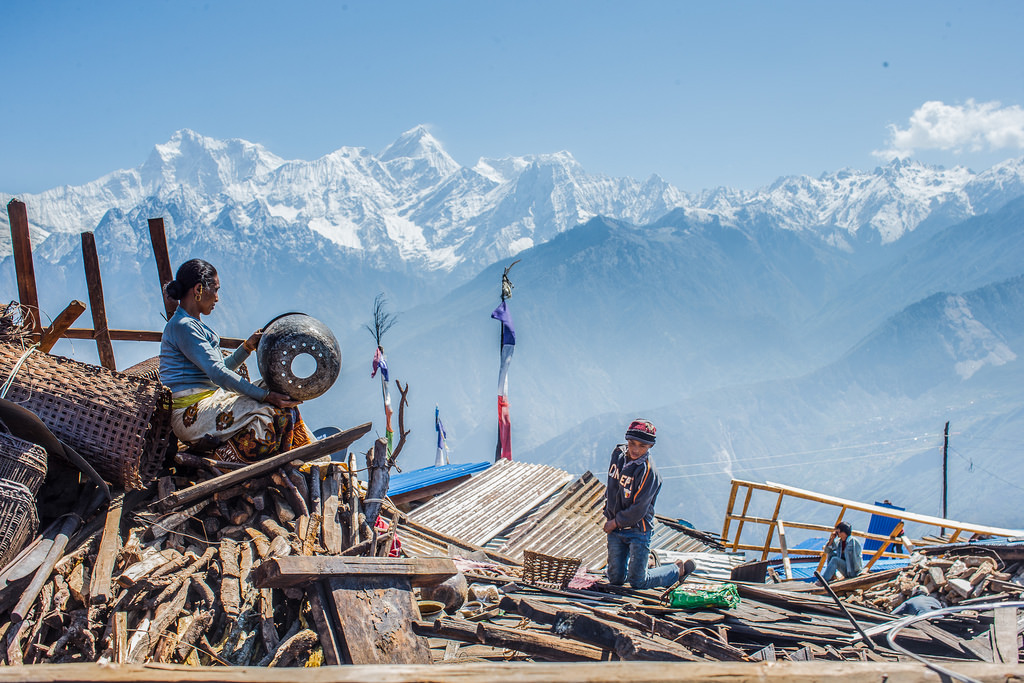
To date, GeoQ has been used with good results in connection with 15 disasters including the Nepal earthquake. But GeoQ’s utility is not limited to geographic-condition reporting. A more recently-added functionality is triage data sharing, added after NGA’s Huntsville, Alabama team reported that first responders were recording, on their own arms, triage-related information such as the number of critically injured patients.
NGA tech lead Ray Bauer, who was awarded a 2015 People’s Choice Bold Award for his efforts to advance GeoQ, has identified the value of and has promoted GeoQ as a game-based training tool. After the NGA evaluated other platforms such as the Waze real-time traffic application, NGA augmented GeoQ by adding a gamification server and game-driven content allowing first responders to earn points and/or badges for various tasks such as accurately locating and reporting buildings that had been damaged by a tornado.
As of now, GeoQ badges are awarded for successful completion of training exercises and related activity concerning tornadoes, earthquakes and hurricanes. The system in fact was tested in the aftermath of a tornado in Oklahoma. Bauer explained: “We actually tested gamification … and we witnessed what was I thought pretty awesome. We didn’t even tell the folks what the points were for, and people started to compete in a friendly way. They were actually coming to look for more work, because the analyst next to them had completed their work and had 10 points and they completed theirs, and only had eight.”
The NGA is counting on local and state authorities to use GeoQ, which is open-sourced, as a springboard for creating locally-relevant disaster training. That’s consistent with Bauer’s view that the emergency management paradigm – in which federal agencies invariably end up taking the lead in relief efforts – should be reversed so that local authorities are in the lead. With access to GeoQ images and data, local authorities invariably will increase efficiency in disaster response.
Image credit: flickr